Atlas V 401
SuccessLandsat 8 (DCM) · United Launch Alliance
The launch vehicle successfully inserted its payload(s) into the target orbit(s).
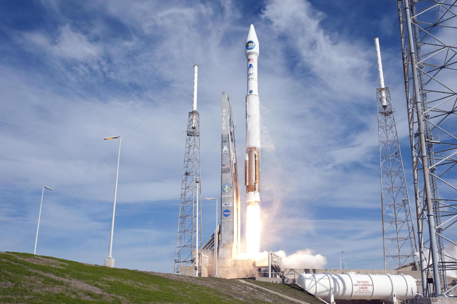
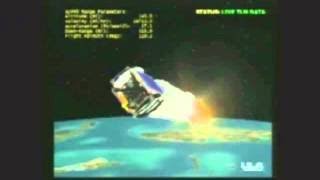
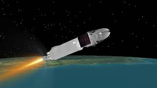
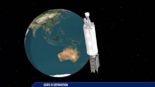
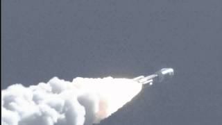
Landsat 8 is an American Earth observation satellite launched on 11 February 2013. It is the eighth satellite in the Landsat program; the seventh to reach orbit successfully. Originally called the Landsat Data Continuity Mission (LDCM), it is a collaboration between NASA and the United States Geological Survey (USGS). NASA Goddard Space Flight Center in Greenbelt, Maryland, provided development, mission systems engineering, and acquisition of the launch vehicle while the USGS provided for development of the ground systems and will conduct on-going mission operations. It comprises the camera of the Operational Land Imager (OLI) and the Thermal Infrared Sensor (TIRS), which can be used to study Earth surface temperature and is used to study global warming.
Zur Nutzlast-Seite →📡 Livestreams & Webcasts

🎬 Aktuelle Videos
Keine aktuellen Videos gefunden — diese Zeile bleibt leer, bis es Neues gibt.
🚀 Über die Rakete: Atlas V 401







📰 News
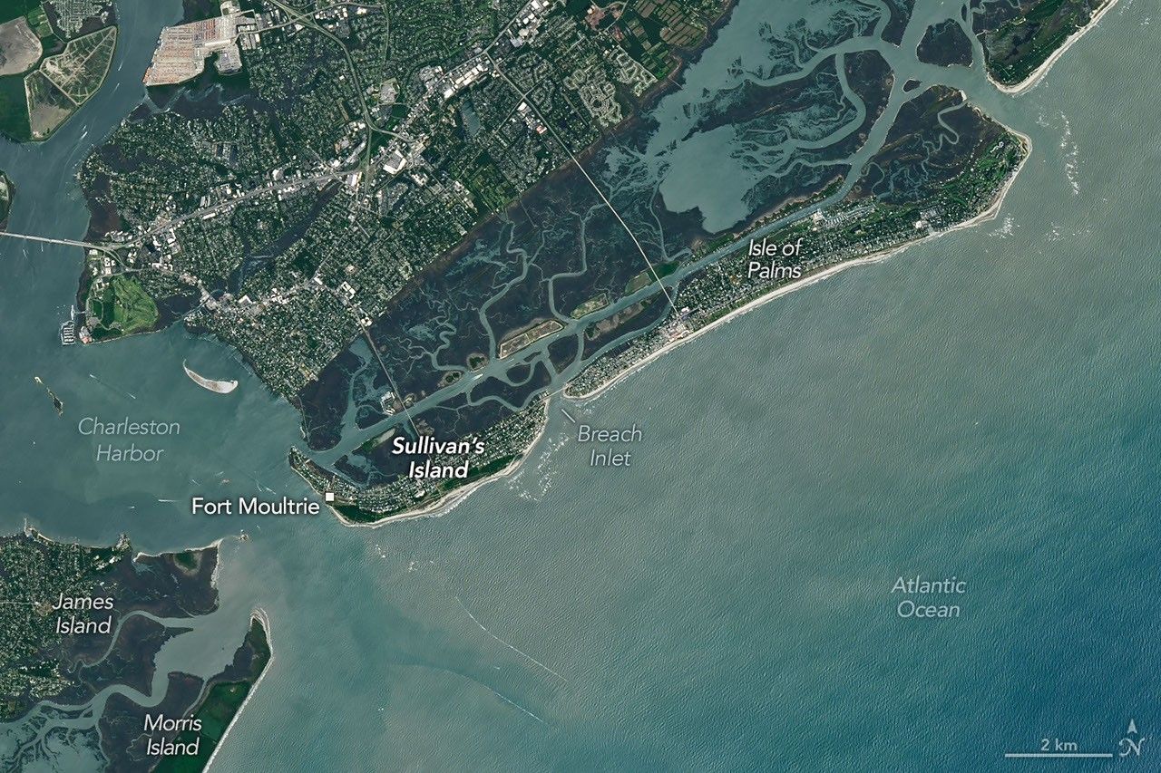
Marshy, sandy terrain and an impassable inlet helped colonial forces repel British forces during a pivotal battle on the barrier island near Charleston, South Carolina, on June 28, 1776.
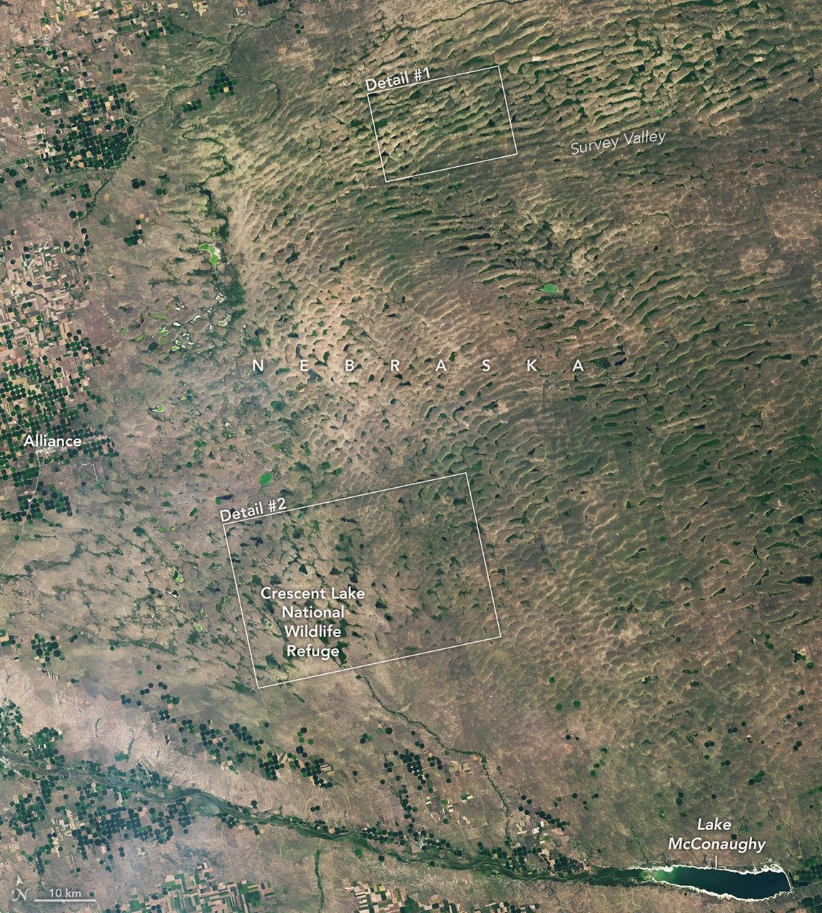
The Nebraska Sandhills—the largest system of sand dunes in the Western Hemisphere—stretch across about one-quarter of the state.